Northam Secondhand
Regular price
$85.00 AUD
Regular price
Sale price
$85.00 AUD
Unit price
/
per
Taxes included.
Couldn't load pickup availability
Ask about deliveryOpens an email with this item included. Add your suburb and postcode for a delivery quote.
Language: English
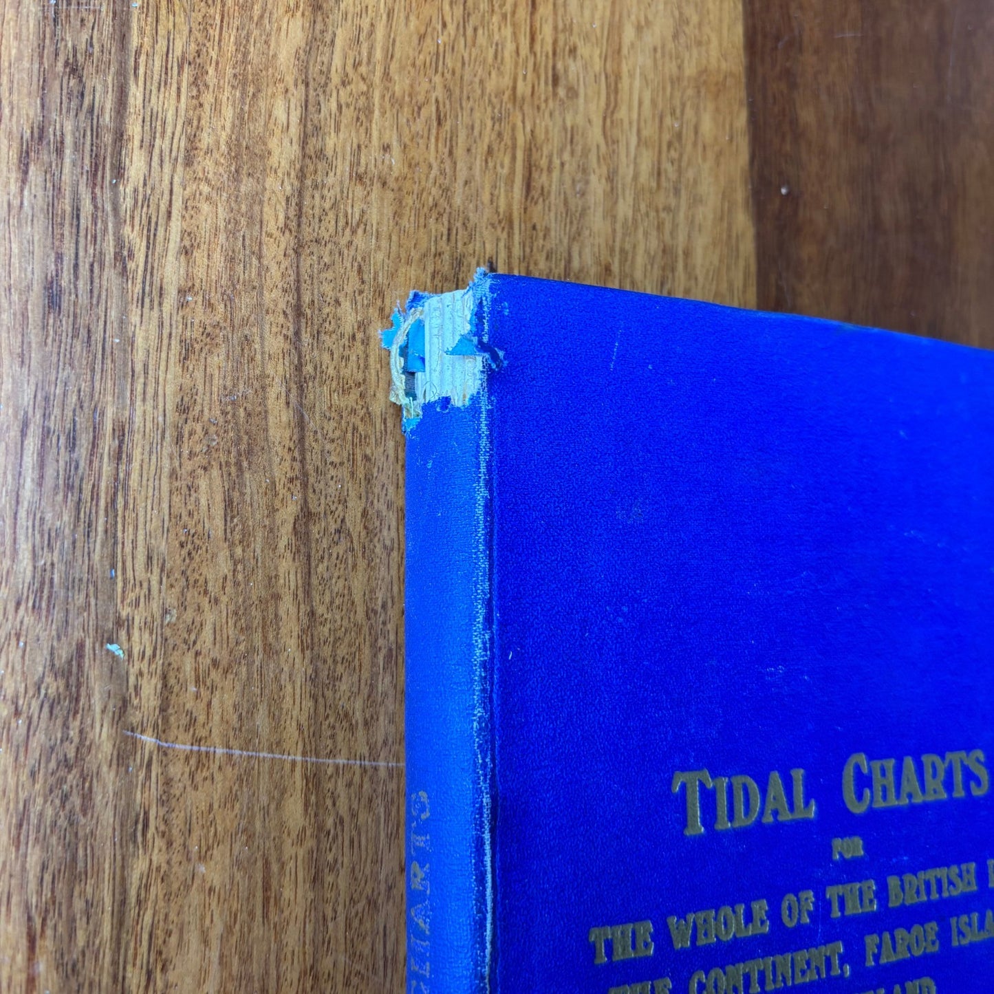
Book Title: TIDAL CHARTS For the Whole of the British Isles, the Continent,
Author: James Munro
Topic: Charts
TIDAL CHARTS
For the Whole of the British Isles, the Continent, Faroe Islands & Iceland
James Munro & Co Ltd, Glasgow
Hardcover nautical reference
A substantial and highly detailed nautical tidal and current chart book, produced for professional and coastal navigation use, covering:
-
British Isles
-
English Channel
-
Ireland (North, South & West)
-
Faroe Islands
-
Iceland (including currents and coastline sketches)
-
Bay of Biscay and continental coasts
Compiled for each hour of the tide at Dover, with extensive directional arrows, current rates, and navigational guidance.
An impressive working reference used historically by masters, pilots, and mariners.
Share
View full details